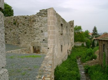
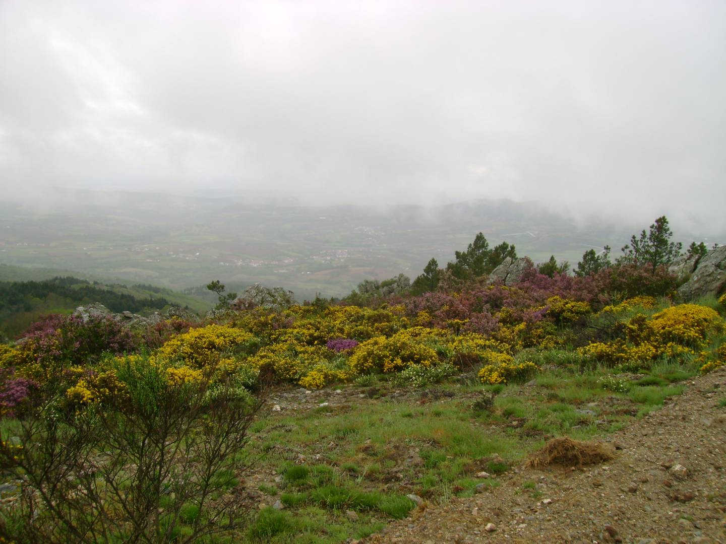
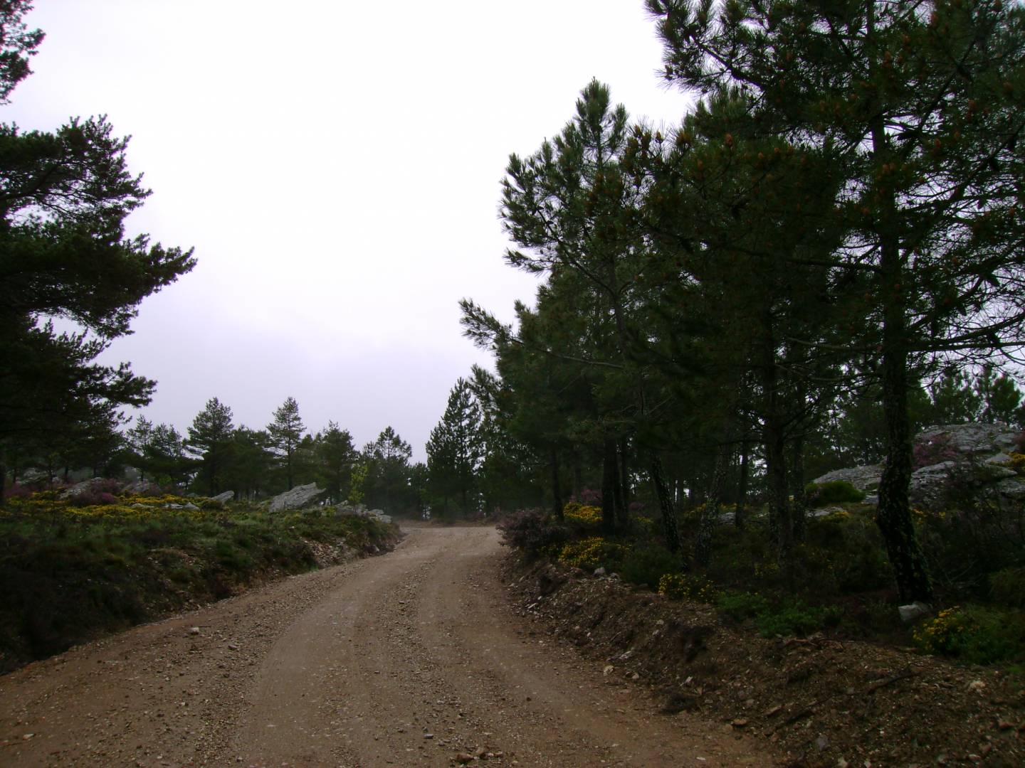
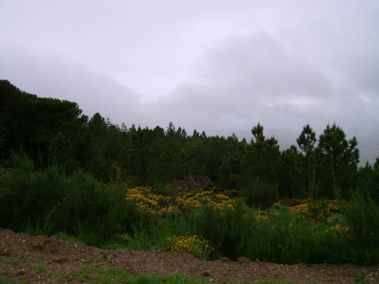
Serra de Bornes
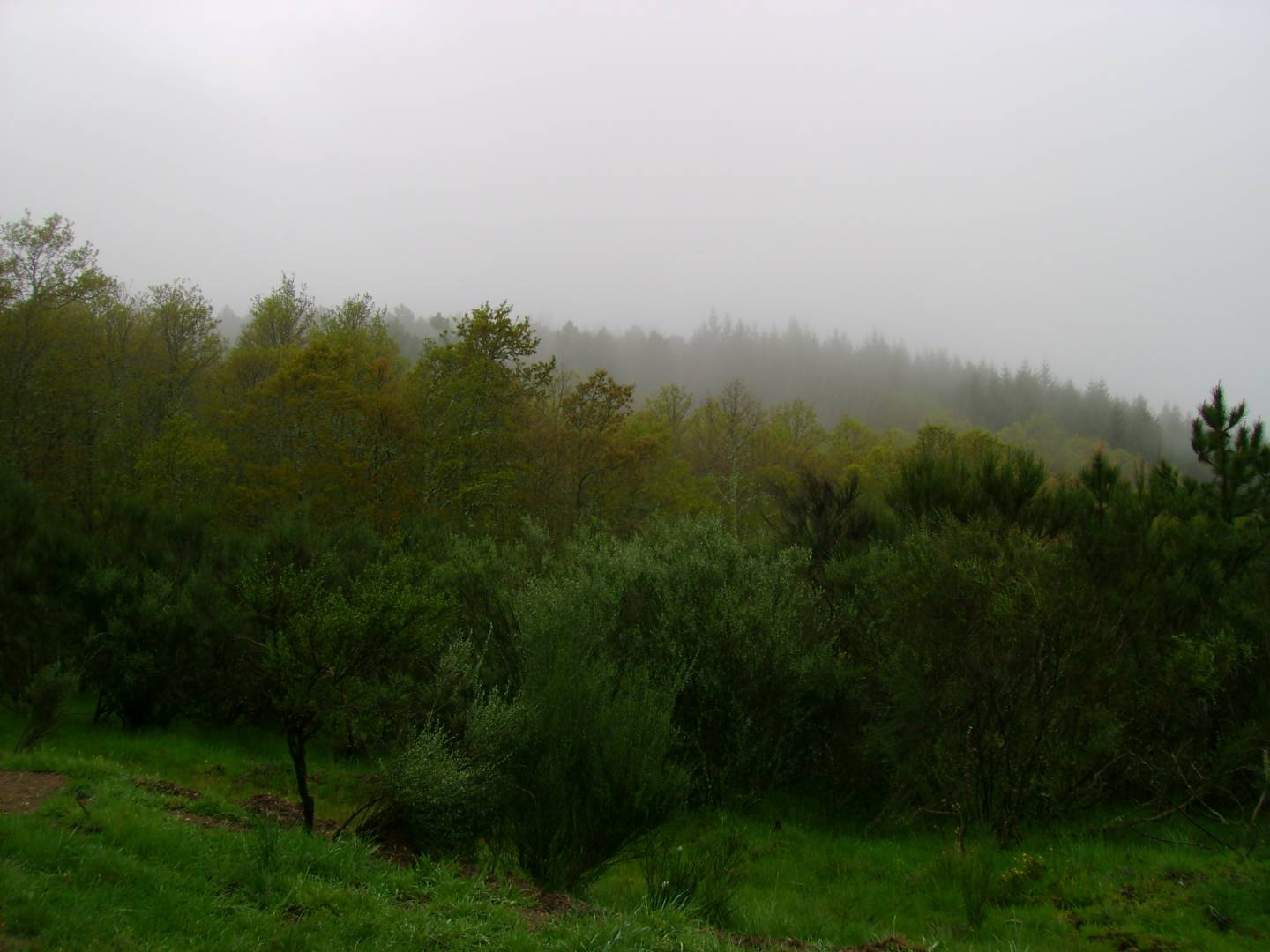
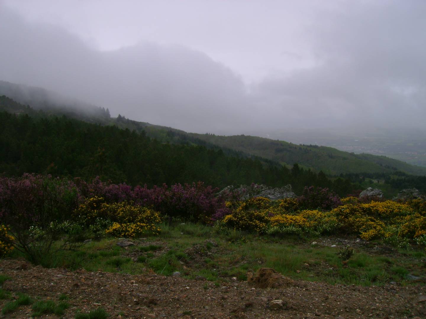
It belongs to the Old Massif and is located in the east-central region of Trás-os-Montes, between the Sabor and Tua rivers. It is over 12 km long and 5 km wide, reaching its highest point at 1,200 meters, above the Vilariça valley. The region is characterized by mountain ranges, small high-altitude plateaus, deep, hollow valleys, some watercourses, and open valleys. The flora ranges from chestnut trees to cork oaks, olive trees, almond trees, cherry trees, orange trees, and vineyards. It is noteworthy that, until a few years ago, rye was cultivated at an altitude of about 1,000 meters.
Contacts
Serra de Bornes
5340,Olmos
- Mountains
- car access
Characteristics
Natural Resources near Serra de Bornes
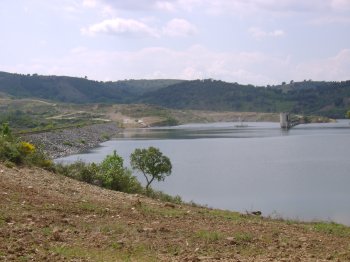
Barragem da Carvalheira
Dam located on the Ribeira de Amendoeira (Douro River Basin), framed by patches of trees. Fishing is restricted.
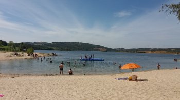
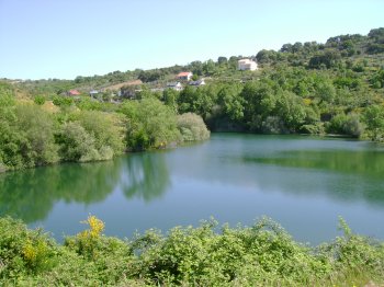
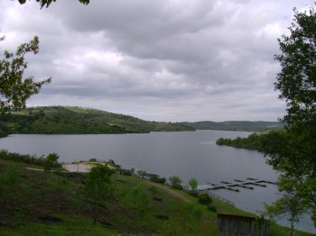
Barragem do Azibo
Earthen dam on the Azibo River, Douro Basin, framed by a mountainous landscape. Recreational activities are permitted, with restrictions.
Paisagem Protegida da Albufeira do Azibo
The Azibo Reservoir, originating from the dam, has a surrounding area of regional scope that is protected for its rich fauna and flora.

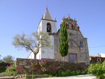
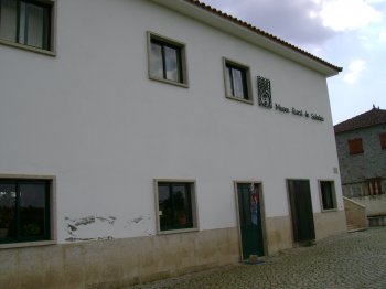
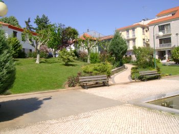
Are you going to Macedo de Cavaleiros?
See the suggestions of places to visit we have for you!