Serra de Montemuro
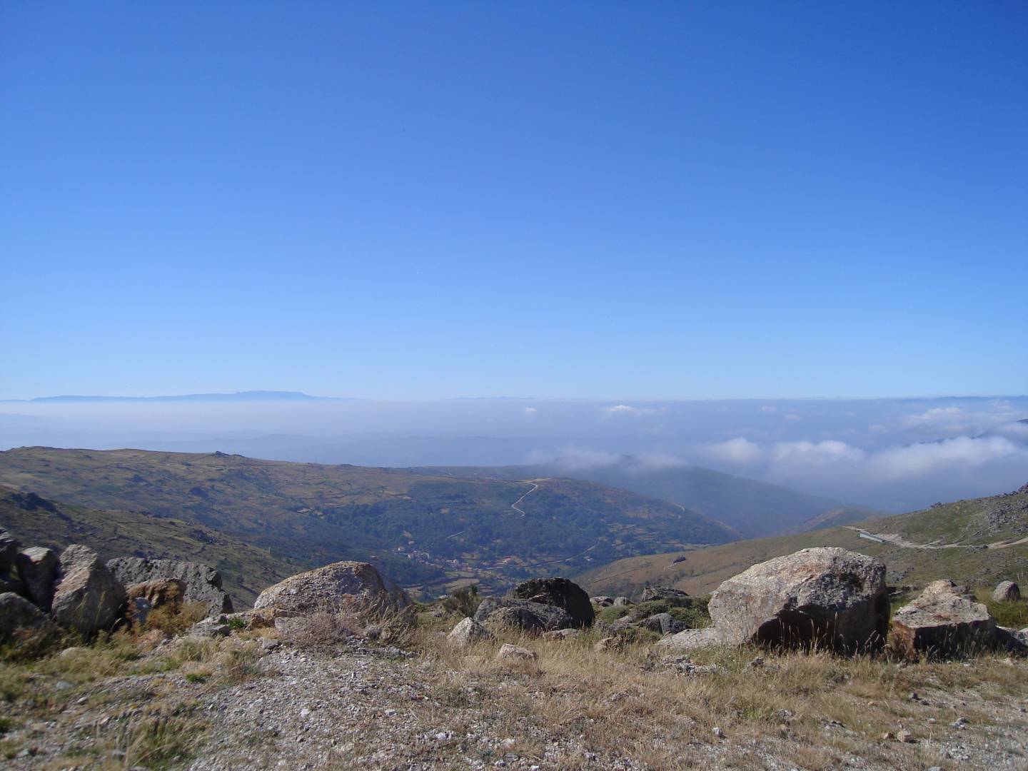

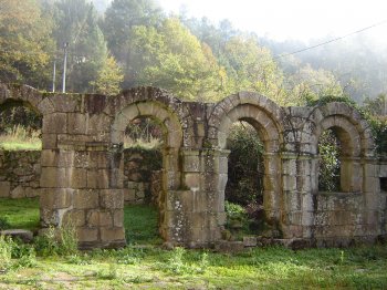
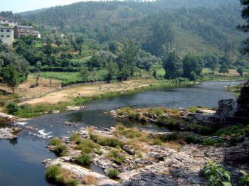
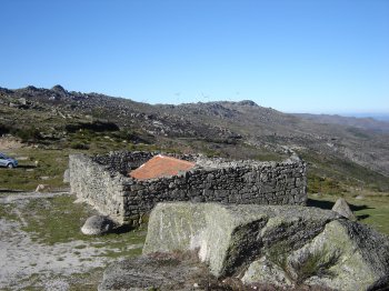
It lies between the Douro River to the north and the Paiva River to the south, bordering the city of Lamego. The highest point of the mountain range is called Montemuro, at 1,381 meters above sea level. The entire mountain range is quite steep and steep on practically all sides. The mountain range is populated up to approximately 1,100 meters above sea level, with villages scattered throughout, but almost always near watercourses. The Varosa River (which separates it from the Leomil Mountains) and the Balsemão River originate in this range. The Paiva River separates it from the Arada Mountains. It is of granite and schist formation and has been inhabited since ancient times, as evidenced by the numerous fortified settlements found there. It also has prehistoric tombs known as the Ouvida mounds. Of particular note is the D. João Lagoon, at 1,100 meters above sea level.
Contacts
Serra de Montemuro
4690,Alhões
- Mountains
- car access
Characteristics
Natural Resources near Serra de Montemuro
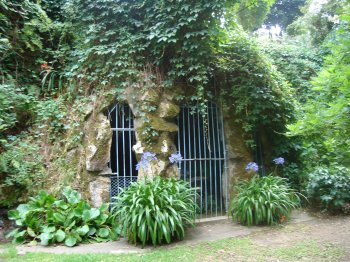
Gruta de Nossa Senhora de Lurdes
Located near the Church of Santa Marinha, this grotto was inaugurated in 1896 and is a small replica of the grotto found in Massabielle, France. Set in a woode…