Explore the best places
Country in Portugal
Circuitos do Parque Natural da Serra de São Mamede
- country
São Salvador da Aramenha
7330, São Salvador da Aramenha
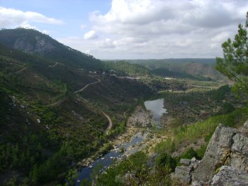
A hiking trail along the eastern edge of São Mamede Natural Park. The route includes a visit to Marvão Castle, the Castelo de Vide Walls, a bridge over the Ribeira de Galegos River, and Casal da Torre. It passes along the banks of several waterways, such as the Sever River.
Passeio pelo Parque Natural da Serra de São Mamede
- country
Marvão
7330, Marvão
The Natural Park encompasses the important São Mamede mountain range. This is the only natural park in the northern Alentejo region, and its mission is to protect natural resources and flora and fauna, as well as the regional geomorphology and landscape.
Parque Natural do Vale do Guadiana
- country
Amêndoeira da Serra
7750-302, Mértola
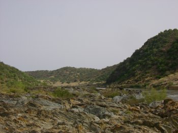
Created in 1995, the Guadiana Natural Park, which encompasses the municipalities of Mértola and Serpa, boasts flora, fauna, morphology, and, most importantly, landscape features of great beauty and interest. The middle stretch of the Guadiana Valley, between Pulo do Lobo and the mouth of the Vascão River, with its enclosed valleys and numerous tributaries, boasts above-average beauty. Notable are the presence of wild boar, little bustard, great bustard, otter, black stork, griffon vulture, wild olive trees, and mastic trees.
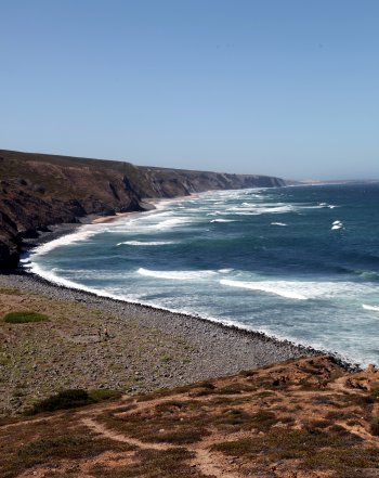
Parque Natural do Sudoeste Alentejano e Costa Vicentina
- country
São Torpes
7520-089, Sines
Between São Torpes and Burgau (Alentejo Coast and Western Algarve), the Southwest Alentejo and Vicentine Coast Natural Park encompasses the municipalities of Sines, Odemira, Aljezur, and Vila do Bispo, as well as a strip of sea approximately 2 kilometers long-running parallel to the coast. Expressions such as "sandy beaches," "rocky coastline," "cliffs and islets," and "veins of water flowing into the sea" used in the same sentence are synonymous with the Vicentine Coast and Southwest Alentejo.
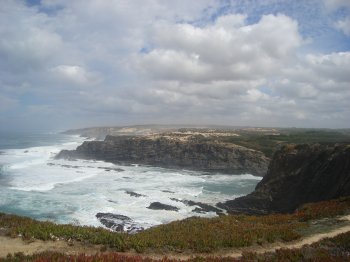
Cabo Sardão
- country
Cabo Sardão
7630, Cavaleiro
Cabo Sardão is the westernmost point of the Alentejo Coast, a place of absolute harmony between land and sea, guarded by a lighthouse. This is a transit point along the coastal road connecting Almograve to Zambujeira. Near the cliff, you can admire the veins carved into the rocky walls, the islets nesting along the coast, and the white storks that nest here.
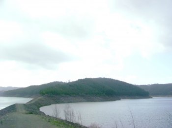
Ilha de Padrões
- country
Ilha de Padrões
3320, Portela do Fojo
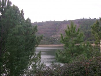
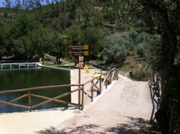
A place of remarkable natural beauty, popular for water sports, the island is the result of the confluence of the Unhais and Zêzere Rivers.
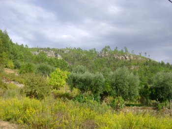
Serra das Talhadas
- country
Sobral Fernando
6150, Proença-a-Nova
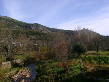
This mountain range connects Alto Alentejo to Beira Baixa, stretching 27 km and measuring almost 2,500 m wide. Its slopes sometimes exceed 50%. It runs through Proença-a-Nova, Vila Velha de Ródão, and Nisa and is traversed by the deep epigenetic valleys of the Tagus and Ocreza rivers. Four geomonuments of the Naturtejo Geopark of the Southern Plateau can be seen in this mountain range.
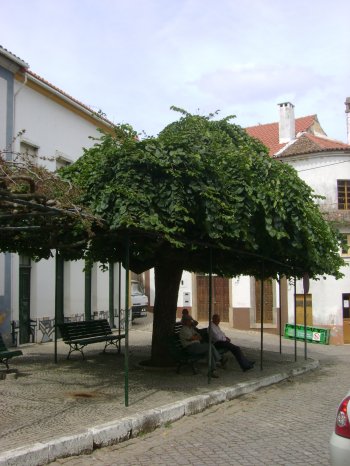
Ulmeiro
- country
Sobreira Formosa
6150, Praça do Comércio
Elm classified as a Living Monument of Public Interest. These trees can reach up to 30 meters in height, and their flowers, though scarce, can produce nuts. The wood from this type of tree is often highly sought after for making furniture, carpentry, or naval purposes.
Percurso Pedestre Rota dos Recantos e Encantos (PR5)
- country
EM544
6150, Proença-a-Nova
This trail begins and ends at the river beach of Alvito da Beira. It is 11.4 km long, takes about 3 hours, and has a medium level of difficulty. The main points of interest on this trail are the village of Alvito da Beira itself, Lameira da Mó, and Cova do Alvito.
Percurso Pedestre Rota das Conheiras (PR3)
- country
EN351
6150, Proença-a-Nova
This trail begins in the village of Sobral Fernando and is 10.6 km long, takes 3 hours, and is of medium difficulty. Points of interest include the Conheiras (extensive heaps of pebbles that testify to gold mining in Roman and medieval times) and the Várzea das Pedras Watermill and Reservoir.